Ba River - Origin and City
Place your mouse on any photo to pause slide show


The Origin of Bahe
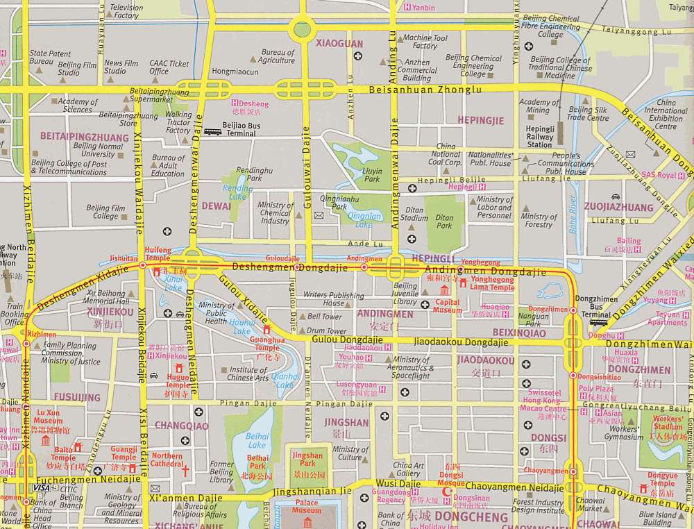
Ba River formally has its origin at the northeastern corner of the former Ming and Qing dynasty city moat. Its water source is controlled from Jishuitan and flows from there eastbound in the northern city moat until it meets up with Bahe.
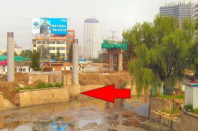
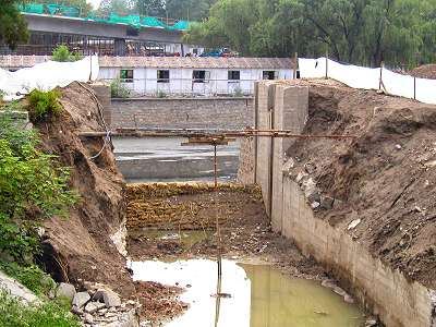
An overpass from 3rd to 4th Ring Road is currently (July 2005) under construction at this location so the moat has been left dry at the entrance to Bahe (see photo).
Ba River meets the City Moat
This photo looking south shows the boarded up connection between the city moat and Bahe (front).
When first constructed in 1292, the water that fed Bahe passed under the Yuan dynasty (1279-1368) city wall. This point lies about 50 meters west (right) from the sluice seen on the picture.
This photo looking south shows the boarded up connection between the city moat and Bahe (front).
When first constructed in 1292, the water that fed Bahe passed under the Yuan dynasty (1279-1368) city wall. This point lies about 50 meters west (right) from the sluice seen on the picture.
Joint Flow with the Eastern City Moat
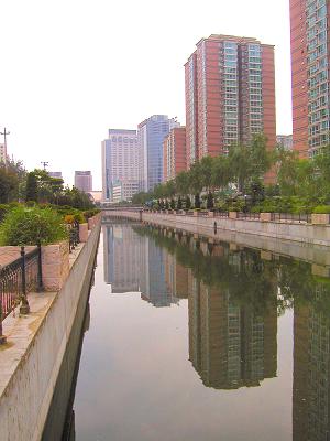
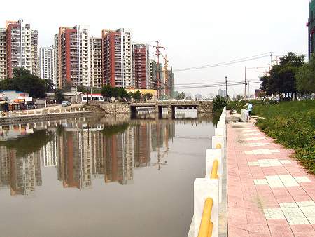
The river starts flowing north sharing water bed with the original eastern city moat of the Yuan dynasty (1279-1368). This part of the city was abandoned in the subsequent Ming and Qing dynasties, but the moat has been left in place until now.
It flows gently past Liu Fang railroad station (barely visible in the far distance) and residential highrises. The photo looks south.
Bahe Becomes Independent
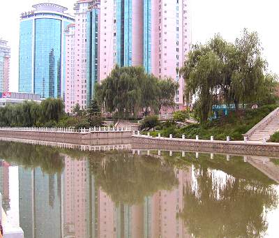
This photo, facing southwest) shows the point where Ba River commences its independent flow separate from the city moats. The original city moat continues between the two trees on the far bank on the photo.
A history tidbit: In the Yuan dynasty (1279-1368) the northeastern city gate, Guangximen, was located just in front of the green glass office building in the left rear of the photo.
Changing Direction
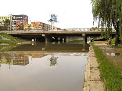
Having gained freedom from the flow of the city moat, the river now turns north-northeast still running in between densely populated inner city areas.
To leave Beijing the river will have to cross many major traffic arteries and already this early it flows under Beijing's busy 3rd Ring Road (picture). The photo looks north northeast along with the flow of water.
Leaving Civilization
A little north of 3rd Ring Road Bahe finally flows straight east, its main direction until it empties into Wenyu River.
Soon after the turn it passes in front of the most recent highrise constructions (photo, looking east) in Beijing's northeastern suburbs. In the rear on the picture the river has been dammed up by a natural gas pipe.